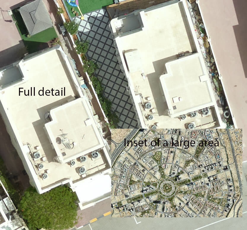
PhotogrammetryAerial photogrammetry is a method of survey mapping, that is able to measure, and interpret, visible features directly from aerial photographs. Aerial photogrammetry complements aerial imagery and airborne derived datasets using .LiDAR |
|
Some of many applications of aerial photogrammetry include:
|
|
High resolution digital aerial cameras coupled to airborne LiDAR systems allow imagery to be captured with LiDAR simultaneously, minimising project costs.

